
Send and manage Realtime update for your capacitor app without store hassle, 5 min to install Over-the-Air (OTA) updates in your app. Use channels to send updates to specific users or groups of users.

Transform coordinates into insights with MapGO. Calculate distances, resolve admin divisions, and analyze spatial relationships in real-time.
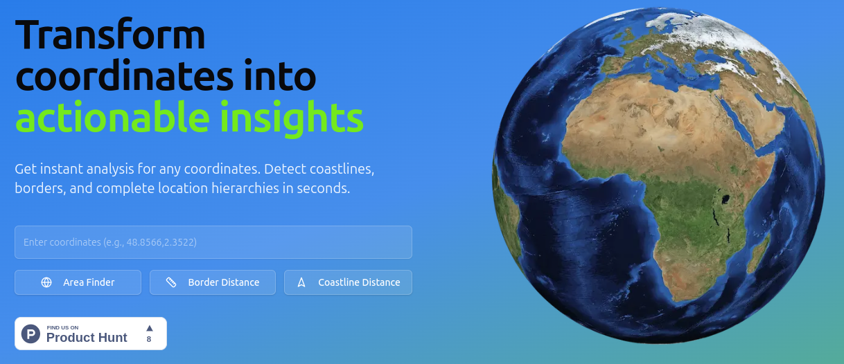
MapGO is a powerful tool designed to transform coordinates into actionable insights, helping individuals and organizations across various industries such as drone operations, real estate, and environmental research to analyze spatial relationships and make informed decisions. This platform is particularly useful for those seeking to calculate distances, resolve administrative divisions, and understand location hierarchies in real-time. By providing comprehensive location intelligence, MapGO caters to a wide range of users, from individuals and small teams to growing businesses and enterprises.
Send and manage Realtime update for your capacitor app without store hassle, 5 min to install Over-the-Air (OTA) updates in your app. Use channels to send updates to specific users or groups of users.

Remote work is not just the need of the hour it is a convenient way of life. Find curated remote ruby jobs in one place or post a job in your amazing company.

Launch profitable directory website in minutes

Use the filters in the search box to define the kind of software engineering jobs you want.

Find fully remote companies hiring software engineers in 2023. Find the right fit for you from our amazing remote resources directory.

Remotebase | Hire silicon valley caliber developers remotely | Remote software engineers jobs
Compare alternatives

Hiring

Development

Development
Boilerplate
[ WEEKLY_DIGEST ]
A short digest of the best new tools, grouped by category. No spam, unsubscribe anytime.